Ordnance Survey maps are reproduced with the permission of the National Library of Scotland from their Map images website. Other maps accessed via oldmapsonline.org, from David Rumsey Map Collection and British Library Online Gallery.
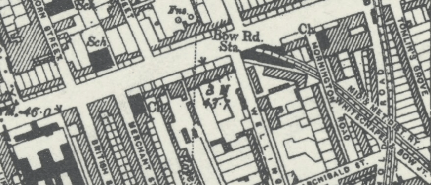
Bow Road Station was opened in 1902. Two blocks of ‘unusually grand’ houses, nos. 1&2 and 3&4 were demolished as the District Line emerged from underground, a bridge constructed and a new road, Eleanor Street, and 13(?) houses from the terrace on the east side were also demolished, leaving nos. 21-28, and 42-48(?) still standing. Here is the 25 inch Ordnance Survey map of 1914. (Find these maps on the National Library of Scotland Maps web-site.) Notice the tramway down the centre of Bow Road – and the convenient ‘urinal’ at the top of Arnold Road. 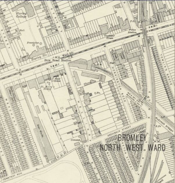
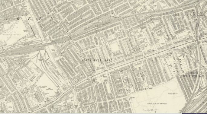
Many streets that were to be disrupted by bomb damage and later developers are shown on these 1914 maps at their most complete. Here is the same map as above, but covering a wider area, showing the sheer density of the housing development: